Our many years of experience delivering surveys for development projects of all kinds means that our team of registered surveyors understands the scope that each job requires.
We use the latest technology to quickly deliver high quality data, helping to save you money by allowing your project to be completed faster.
Whether you are selling your property, extending, building or subdividing land, you are likely to need assistance from our registered surveyors.
Topographical Surveys
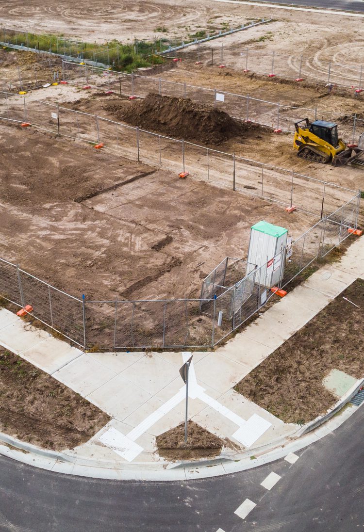
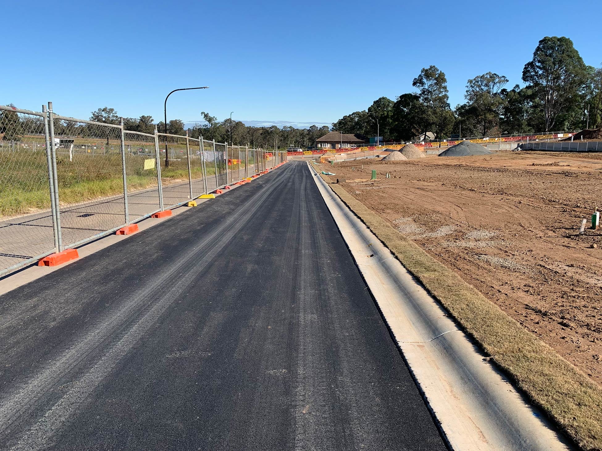
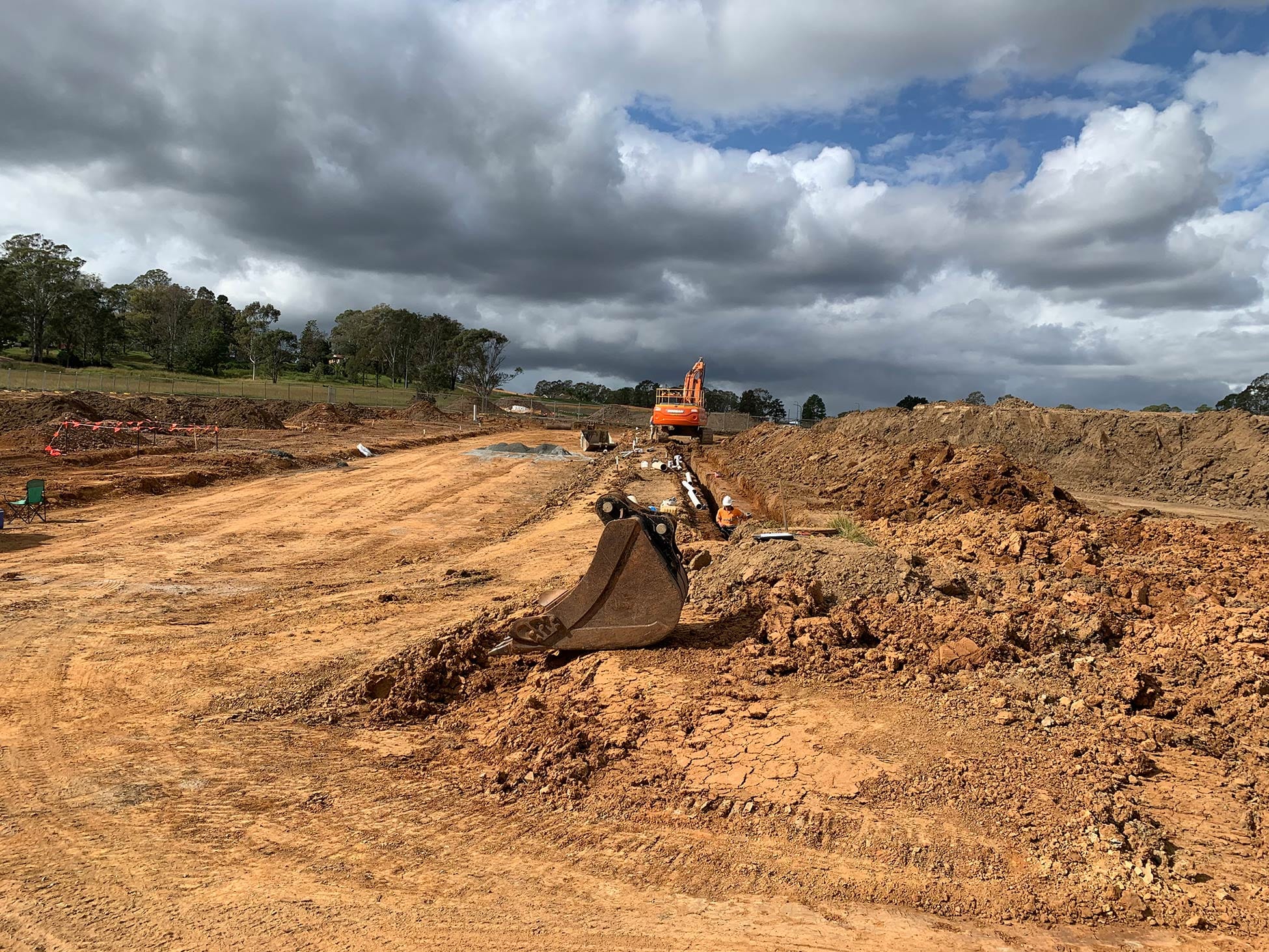
Virtually all developments start with this type of survey. We survey the location and levels of all significant features upon a property including visible services, drainage pit details and adjoining road information. We can also locate dwellings and structures situated on adjoining properties including window location and roof ridges when required. The plan shows this information together with easements, boundaries, fencing, , contours and benchmarks. This plan is then used to design a layout which enables the subdividing of land, renovations, or new dwellings. Digital files can be provided which show 3D triangles for engineering design or flood modelling.
Identification Surveys
These surveys show the location of all substantial improvements on a property in relation to the boundaries. Additionally, they identify any encroachments on the land or over adjoining properties. Often lending institutions require this survey to ensure they are lending on an agreed risk. An identification survey is recommended where there is any doubt as to the location of the boundaries where construction is proposed close to boundaries, if new boundary fencing is proposed or if an encroachment is suspected.