Flood Imagery to Aid in Flood Response and Planning

The unprecedented flood events that occurred during 2022 in New South Wales and Queensland devasted many communities and consequences are still being seen in 2023. However, flood imagery captured during the events by spatial services are being used by emergency service and other NSW Government agencies to support the ongoing flood recovery effort and future flood mitigation.
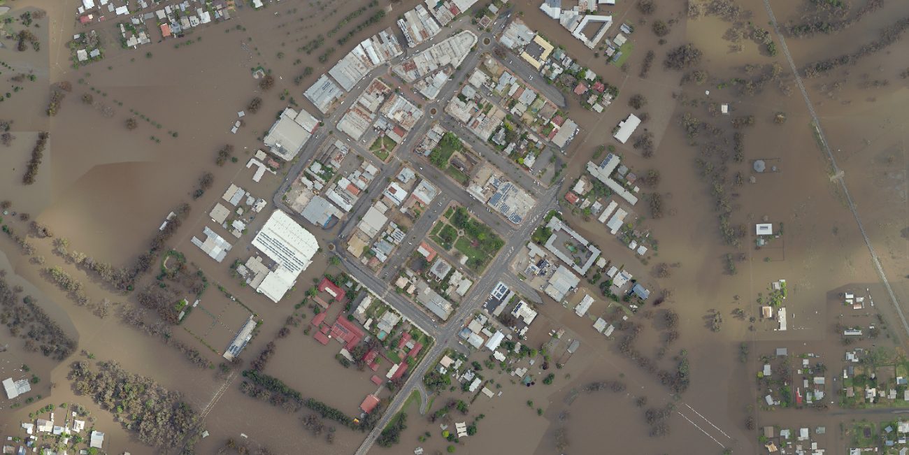
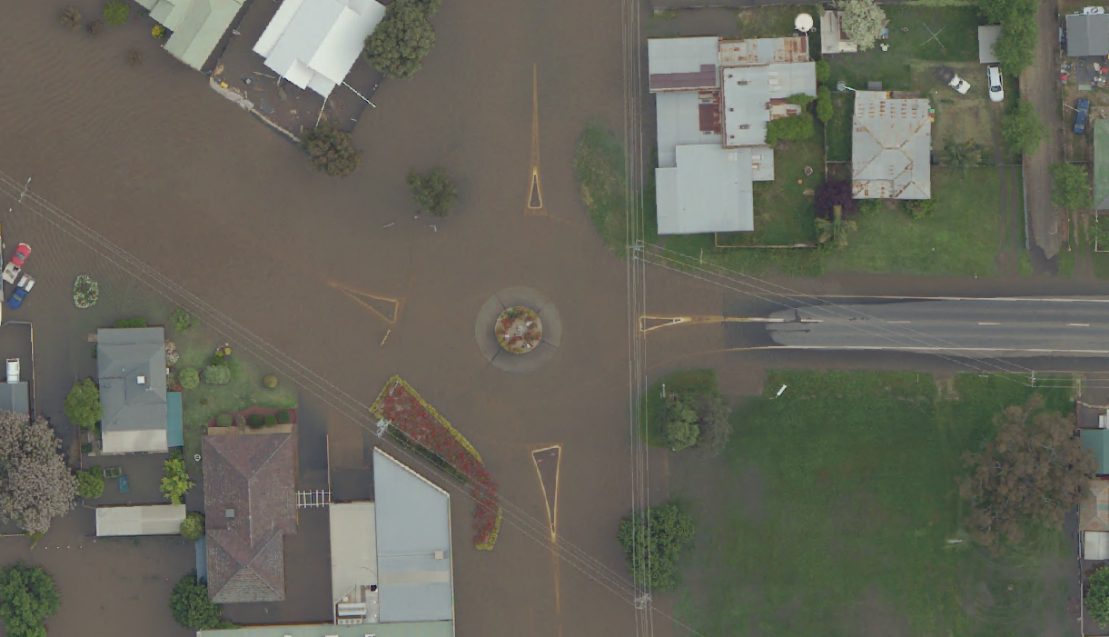
DCS Spatial Services acquired two new airborne sensors midway through 2022 that captured vital imagery during the flood events in NSW. With higher density point clouds that can be combined with imagery capture for easier interpretation, DCS Spatial services can now capture more imagery and elevation data at higher resolutions.

(NSW Flood Imagery Viewer Forbes Flood 2022)
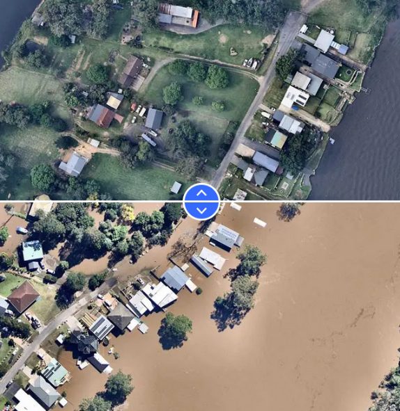
Similarly, Nearmap Aerial Mapping is utilizing the images captured during the event to aid with triage of insurance claims, mapping of evacuation routes and more. Nearmap offers a ImpactResponse tool that gives up-to-date insights following a major weather emergency with a record of high-resolution aerial imagery for comparisons including the recent 2022 flood events.

(Nearmap)
