Next Step in Digitisation for NSW Planning Portal

The digital transformation of NSW’s planning system is continuing with the Department of Customer Service’s Spatial Services team enabling 3D digital mapping for subdivision and strata plans through the NSW planning Portal.
The ongoing digitisation of subdivision and strata land related development is transforming how assessing authorities and applicants can visualise applications. By connecting subdivision and strata related digital mapping to the NSW Planning Portal, impacts of developments can be better understood while also reducing the time it takes to manually review information. Draft strata plans can now be visualised in 3D which improves the ability of assessing authorities to interpret what would otherwise be particularly complex plans in paper form and heighten quality checks and enable improved community engagement.
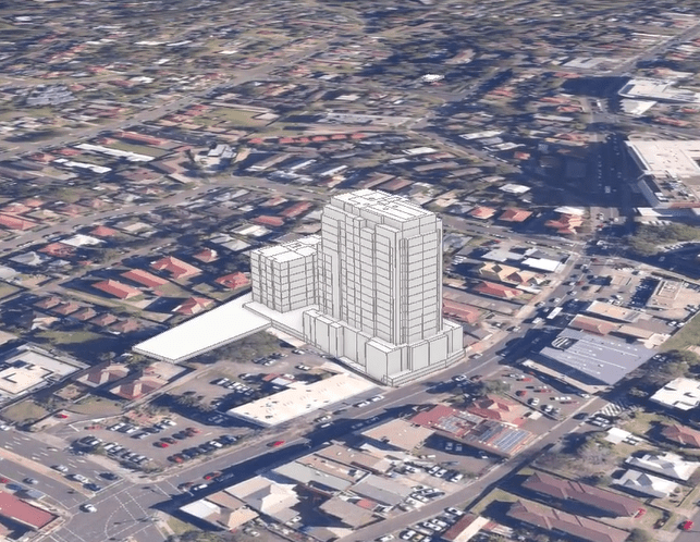
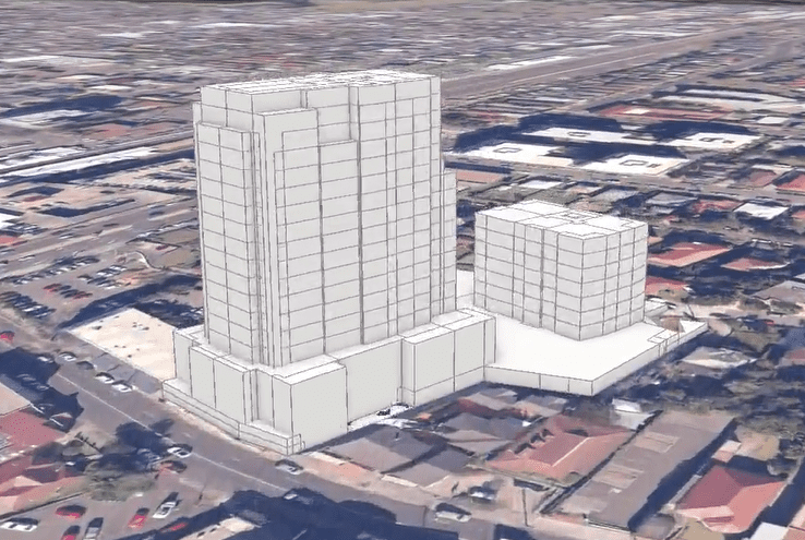
(Images from animated example given from Spatial Services NSW)
Watch the animation from Spatial Services NSW
The digital transformation of NSW’s Planning System continues to streamline and enhance existing processes and is helping improve application determination times as well as increasing the transparency of the planning system and accountability of stakeholders.